
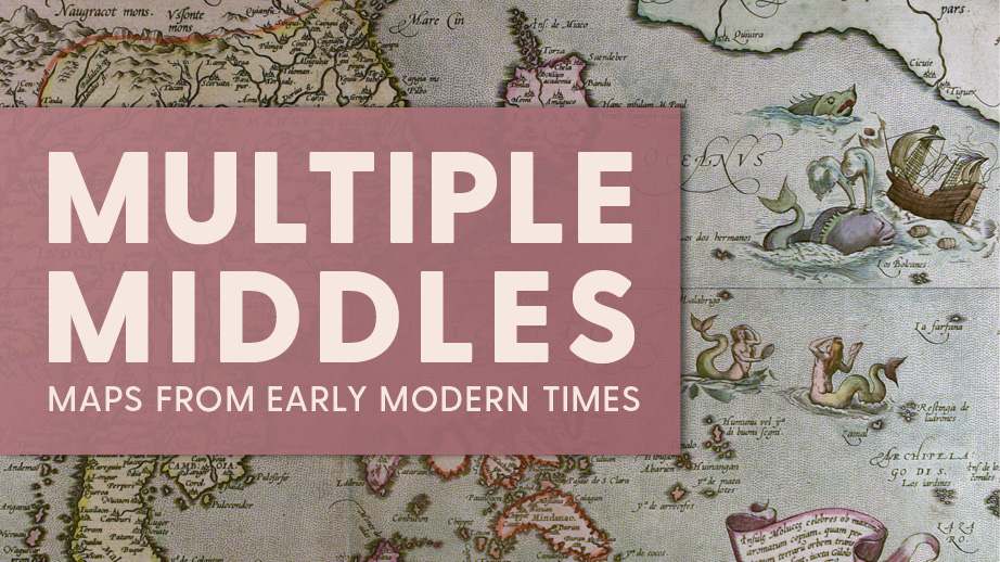
How do you look at a map? Do you start in the middle and work your way out, or do you begin by locating a familiar place? Each viewer approaches maps uniquely, informed by their existing beliefs and experiences. Multiple Middles: Maps from Early Modern Times features a selection of maps, atlases, and travel accounts from the Early Modern Period (between the 1500s and early 1800s). The exhibition takes narratives from the maps’ edges and repositions them as possible middles. As a result, previously unfamiliar histories and visual elements come to the fore. These objects highlight specific innovations, scientific theories, and geographical middles that their makers intentionally framed. The exhibition provides an alternate view of maps and early modern cartography. As you explore, we hope you draw parallels from the maps to today and leave wanting to explore more of the world around you.
This exhibition brings together materials from Special Collections at the University of Delaware Library, Museums and Press.